SOURCE: Kenneth Taylor (taylork021@Hawaii.rr.com)
SUBHEAD: "Ancient Kaua'i Mapping Project: The Wailua Ahupua'a" with pre-historian Erik Burton.
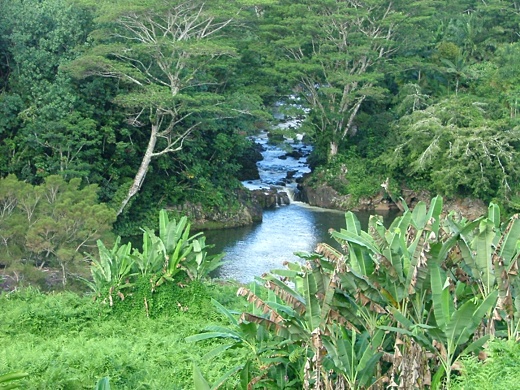
Image above: The Wailua River near the Kauai Hindu Monestary. Photo by Juan Wilson.
WHAT:
Wailua-Kapaa Neighborhood Association Presentation "Ancient Kaua'i Mapping Project: The Wailua Ahupua'a"
WHEN: Saturday, January 22nd, 2011 - 2:00 to 4:00 p.m.
WHERE:
Kapaa Library Meeting Room
DESCRIPTION:
Prehistorian Erik Burton will share the latest maps and pictures from his Ancient Kaua'i Mapping Project, which provides a unique look into Kaua`i's pre-contact history including the ahupua'a land management system, the location and range of agricultural complexes, kuleana lands, trails, villages and legends.
The ancient Hawaiians extensively cultivated the fertile lands of Wailua, all the way up to the base of Wai'ale'ale. Irrigable lands next to the river were cleared and developed for agriculture while the surrounding lands were used for growing a variety of other plants so necessary for supporting life in ancient Kaua'i.
Over time these places were given appropriate names relating to famous people, events and the resources that were available. Few places on Kaua'i have been untouched by the ancient Hawaiians, and their knowledge of the land is an important guide for us today.
Mr. Burton will share his detailed maps and photos of Kauai's interior while discussing some of Wailua's special places including the Coco Palms area, Wailua River State Park, Secret Falls, the Sleeping Giant, and the Blue Hole.
A portion of the W-KNA meeting will include updates on local issues and time to hear new concerns.
For information about W-KNA, to renew your membership or become a new member, please visit www.wkna.org or contact Sid Jackson at 821-2837.
.
No comments :
Post a Comment